
Locate Santa Monica Neighbors by Block
A block lookup has several public layers, each with a narrower purpose. The county parcel map shows the target lot, adjoining polygons, AINs, and situs addresses. Assessor and tax facts can provide taxable characteristics and a specific-property owner lead, with online owner display restricted. City permits add project chronology and named roles. A reverse directory may show historical listed occupants. A purpose-qualified voter file has residence fields but cannot be used for casual block browsing. Neighborhood organizations publish public leadership and meeting contacts, not comprehensive household lists.
| Source | What It Shows About a Block | Access |
|---|---|---|
| Parcel map | Lot pattern, AINs, adjacent parcels, and situs | Free map browse |
| Assessor and tax tools | Taxable characteristics and a specific owner lead | County portal; owner display restricted online |
| Santa Monica permits | Work, project dates, permit number, and named roles | Online archives or focused request |
| SMPL reverse directory | Historical listed occupants or businesses in number order | Free digital or physical volumes |
| Purpose-qualified voter file | Residence field for registered voters under state rules | Qualified request only |
| Neighborhood organization | Public officers, contacts, meetings, and civic boundaries | City-recognized public links |
The table is a control against overclaiming. A block can be mapped without naming private households, and a public name can be reported without asserting current presence. Keep the question narrow: parcel geometry, a civic meeting, a historic address, a project, or an individual's own record.
Click the Parcels Around Santa Monica Address
Use the assessor or Santa Monica parcel viewer to locate the target address. Zoom until lot lines are clear. Record the target AIN and situs, then pan and click each polygon sharing an edge and each parcel across the street. Open parcel details separately because the map's visual adjacency is not a people relationship. Corner lots, alleys, condominium units, and parcels with more than one frontage need special care.
The block process is: target address → parcel polygon → target AIN → edge-sharing AINs → across-street AINs → separate parcel facts → dated public record. Use layers and basemaps for spatial context, but do not assign a building owner to every unit. If the question expands to the full named street, use the Santa Monica street directory workflow rather than treating a block snapshot as a street chain.
- Normalize the address and verify the city or county parcel context.
- Copy the target AIN, legal description, situs, and map date.
- List adjoining and opposite parcels by AIN before opening any person-related record.
- Retrieve only the public facts needed for the defined question and label the custodian.
- Stop when the answer is complete; a wider radius does not create better evidence.
A parcel is land evidence. It is not a current resident map.
Seven Santa Monica Neighborhood Groups
Santa Monica's recognized neighborhood organizations are a civic layer around the parcel layer. The city directory names North of Montana Association, Wilshire Montana Neighborhood Coalition, Northeast Neighbors, Mid City Neighbors, Pico Neighborhood Association, Ocean Park Association, and Friends of Sunset Park. These organizations can publish public contacts, officers, meetings, and issue information. They do not represent every resident and should not be described as publishing household rosters.
The City-recognized neighborhood organization directory is the place to verify current recognition and contact links. Boundaries are civic and voluntary. They do not align perfectly with ZIP codes, census tracts, deed subdivisions, or parcel edges.
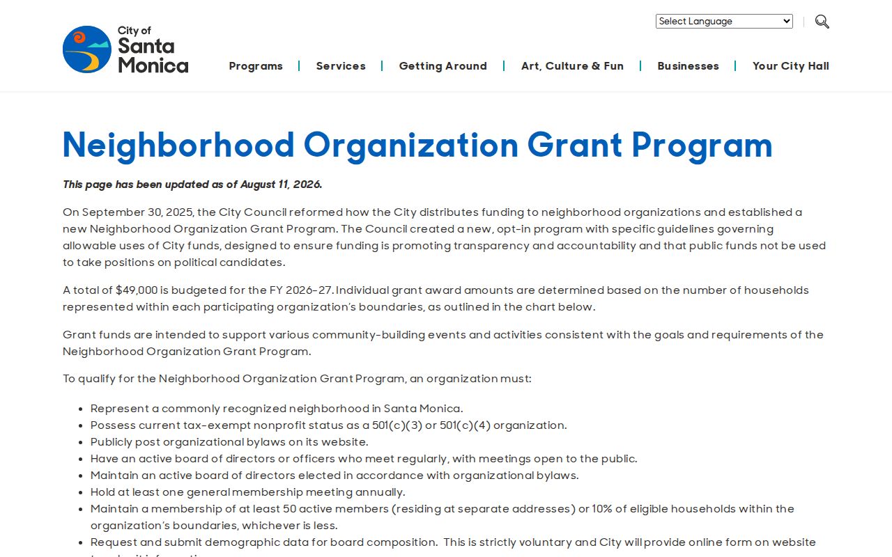
The city directory provides a public route to community contacts without implying that a group can identify every person on a block.
| North of Montana Association | Public civic contact and meeting route; voluntary geography. |
|---|---|
| Wilshire Montana Neighborhood Coalition | Public neighborhood information; no complete household list. |
| Northeast Neighbors | Community contact and issue route; membership is not a public roll. |
| Mid City Neighbors | Public civic activity and contact information. |
| Pico, Ocean Park, and Friends of Sunset Park | Public leadership or meeting routes, subject to live-page verification. |
Business Filings Add Santa Monica Block Context
A business at a nearby parcel can explain a sign, permit, or public meeting without being a private household clue. California Secretary of State bizfile can show an entity number, status, formation jurisdiction, filing addresses, agent for service, and filed statements. A county fictitious-business-name record or professional license can add another public affiliation. These records attach a person or entity to a filing, not necessarily to the residence or daily activity at the block.
When a block includes shops, offices, or community facilities, record the business name, premises address, filing date, and agency. Do not merge the business address with a person's private address. A professional role, permit applicant, or agent for service is a public filing relationship. It has a different meaning from an occupant.
The California business search illustrates a public affiliation route that remains distinct from parcel occupancy.
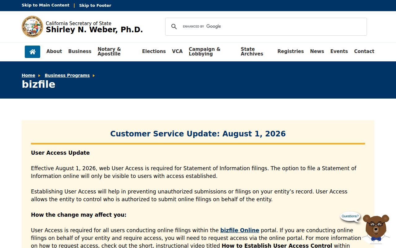
Use entity results to understand a public block activity, not to build a list of nearby private people.
Santa Monica Neighborhood, ZIP, and Deed Lines
A Santa Monica neighborhood boundary is civic. A ZIP is postal. A deed subdivision, tract, lot, or block is a recorded land description. A census tract is a statistical unit. These lines can overlap without matching. The county's 90402 master table overlap with Pacific Palisades is one postal example. Ocean Park's historic name in older directories is another. A neighborhood group may draw a practical boundary that cuts across several ZIPs and plats.
For a block study, preserve the address, AIN, ZIP, tract or lot, neighborhood label, and map date as separate fields. That makes it possible to explain why a parcel belongs to a Santa Monica city record route even when the postal line is shared. It also keeps a historical directory label from being silently rewritten into modern geography.
- AIN
- Assessor Identification Number for a taxable parcel or recorded unit interest.
- Situs
- Physical tax-roll location, which can differ from a tax-mailing address.
- ZIP
- Postal delivery construct, not a resident or municipal boundary.
- Block
- A practical group of adjoining or nearby parcels used for a defined spatial question.
Santa Monica Reverse Directories Rebuild Blocks
Selected later Boehm volumes can be read in street and house-number order. That reverse or criss-cross section can reconstruct which names or businesses were listed along a historical block. Browse the page image rather than relying on OCR, and record “no return,” vacant lots, multi-unit distinctions, and business entries exactly. An old directory can bridge a street address to a name before a recorder request, but it remains a dated listing.
The early geographic scope is wider than today's neat boundaries. The 1907 Santa Monica Bay District book and two 1912 editions include overlapping Santa Monica, Ocean Park, Venice, and other communities. A block-history question should therefore capture the book title, edition, page, place label, and street form. Pair the listing with a deed, census, obituary, or permit when the person or structure matters.
Family history can also benefit from Santa Monica Public Library oral histories, newspapers, photographs, and the Mexican Presence collection. Community records may supply names and stories missing from a property-centered block file.
Santa Monica Voter Limits for Neighbors
California's My Voter Status service confirms an individual's own registration after an identity match. It requires first name, last name, date of birth, and the presented last four digits of a California driver license or identification card. It cannot be browsed by block. The regulated voter file has a residence field, but Elections Code section 2194 and 2 CCR sections 19000 through 19013 limit access to election, scholarly, journalistic, political, or governmental purposes.
A qualified requester must state purpose, geography, file type, delivery, and security commitments. Confidential voters and protected identifiers are withheld. Voting participation history records whether and how someone voted, never ballot choices. A neighbor lookup should use aggregate precinct information for civic geography, not a casual household list.
Voter status can be a legitimate personal verification route. It is not permission to identify every person around an address.
Privacy Tools Protect Santa Monica Neighbors
California privacy rights can affect what a commercial data holder displays, but deleting a compiled listing does not rewrite the official parcel, court, voter, or recorded document. The California Consumer Privacy Act and California Privacy Rights Act provide covered-business rights to know, delete, correct, and opt out of sale or sharing, subject to exemptions. The California Delete Act adds a state data-broker deletion mechanism. Check the current California Privacy Protection Agency implementation details before relying on a procedure or date.
Safe at Home supplies an eligible participant with a substitute mailing address, confidential mail forwarding, and a confidential voter route. It does not erase every historical public record. Recorded-document redaction or removal requires a defined statute, recorder process, or court order. Voter, court, adoption, juvenile, medical, DMV, and personal-contact data can have separate restrictions.
The California privacy-rights information explains the data-rights framework that can apply to covered businesses.
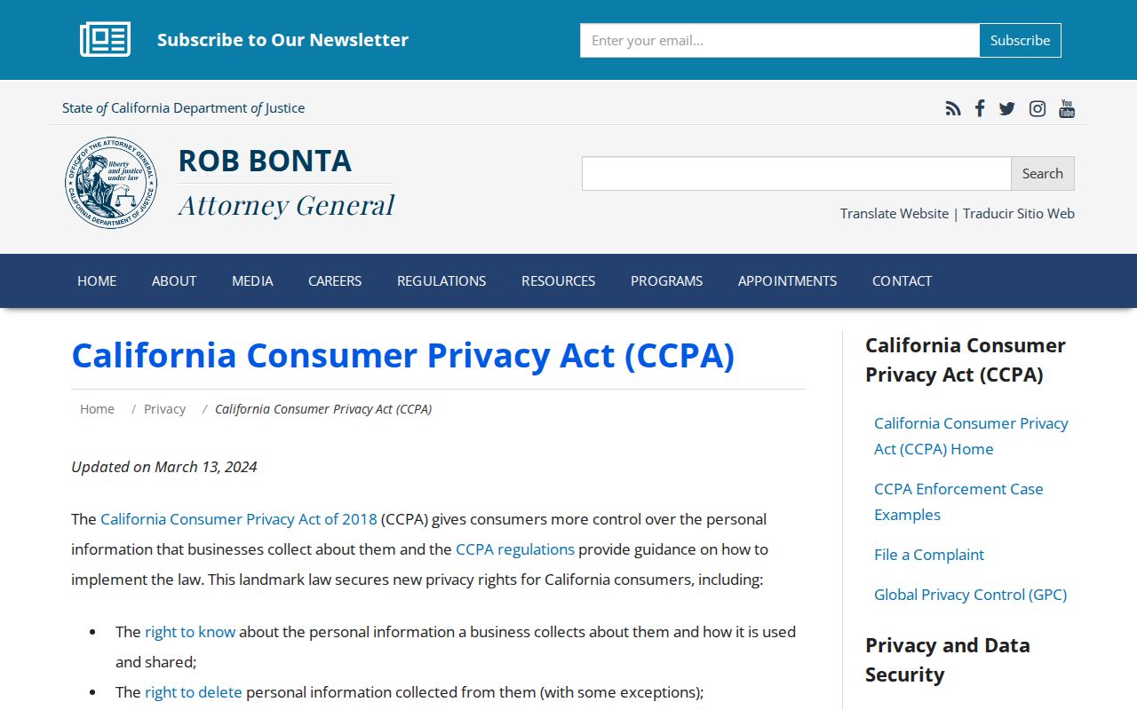
Privacy requests go to the business or agency that controls the relevant record; they do not turn a block map into a blank space.
The Secretary of State's Safe at Home program explains the confidential-address and mail-forwarding route for eligible participants.
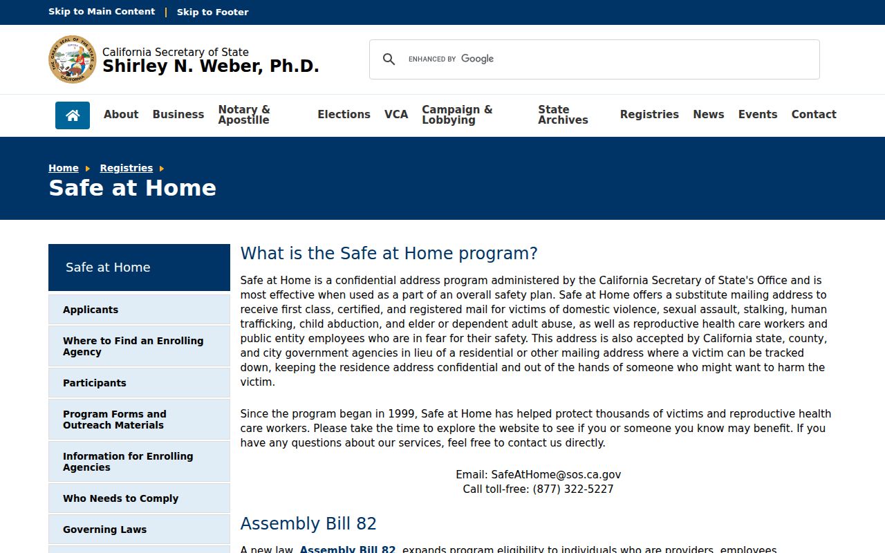
A substitute address protects a participant without changing the underlying rules for every historical public record.
Santa Monica Unclaimed Property Clues
The State Controller's unclaimed-property search can return an owner name, locality, holder, or property category. It is a free claim route and a possible clue when a former resident's name is known. It does not show who lives near an address, and a name in the results does not prove current presence in Santa Monica. Claim proof and correspondence remain with the state process.
Use the agency, result date, name spelling, and locality in notes. Then confirm a meaningful address or family relationship through a separate record such as probate, a deed, a vital certificate, or a dated directory. A block study should report only the public fact needed for the civic or family-history question.
The official California unclaimed-property search shows the limited name-and-locality nature of this route.
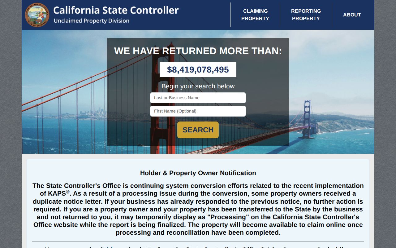
A claim clue can point toward a research lead, but it should never be treated as a block roster or occupancy record.
What a Santa Monica Neighbor Lookup Omits
A block map cannot show every household member, short-term visitor, protected voter, DMV address, utility customer, or private association member. A parcel owner may be a trust, LLC, estate, or absentee owner. A permit identifies project roles. A directory lists only people or businesses included in that edition. A community group has voluntary participation. These absences are limits of the sources, not invitations to infer.
Official rolls and commercial neighbor tools also differ. Official sources name a custodian and defined field, but access may be limited and the record may be dated. Commercial compilation services may merge people, lag corrections, or obscure the source. Treat any compilation as an unverified lead and verify through the creating agency. For a block, the most responsible result is often a parcel list, public project role, historic listing, or civic contact without a private household profile.
| Route | Useful For | Risk to Avoid |
|---|---|---|
| Official parcel and map | Adjacent lots, AINs, and situs | Calling an owner a current occupant |
| City permit or records request | Project timeline and public roles | Assuming a role identifies a household |
| Historical directory | Listed people or businesses by edition | Presenting an old listing as current |
| Commercial compilation | Possible spelling or prior-location lead | Relying on merged or stale identity data |
Lawful block research. Use public parcel, civic, historical, and family-history sources for a defined purpose. Never use a neighbor lookup to stalk, threaten, harass, or expose a protected person.
Note: A public association contact is a civic doorway, not evidence that every household in its stated area belongs to the group.